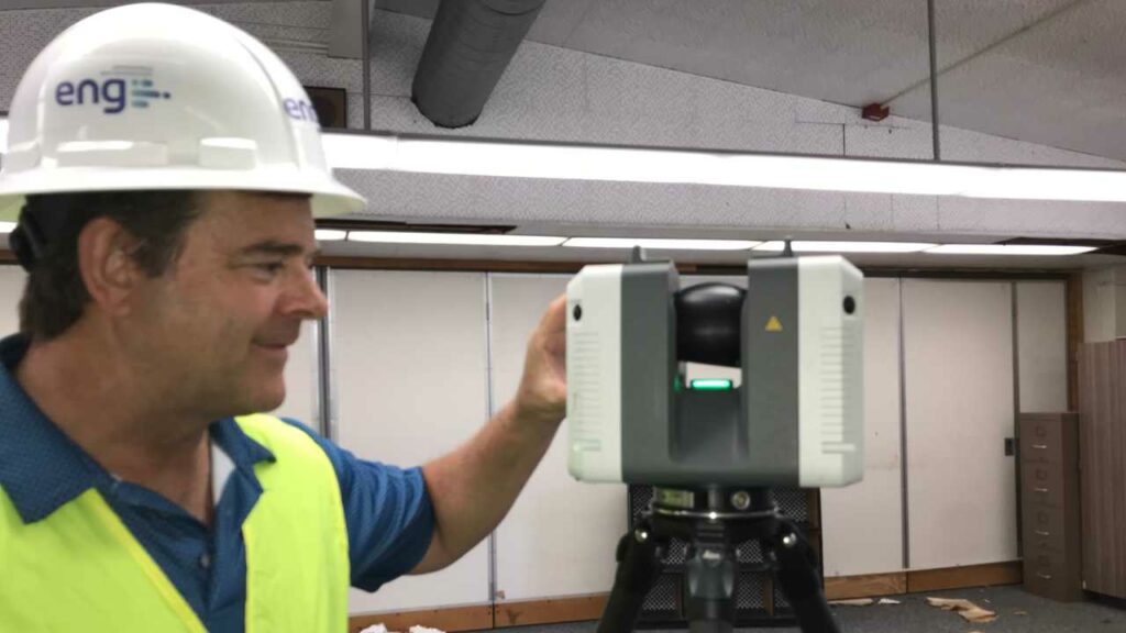
While laser scanning is a technology that we have been using and leveraging for years, when it comes to reality capture applications and processes every project is a new learning opportunity.
Even if you are familiar with this technology, there is always more to learn. Consider five key aspects when defining the laser scanning scope to properly capture your project’s existing conditions.
- Ideally, scanning should be performed after demolition so that only the remaining elements are translated into existing conditions models, preventing confusion between project parties. If this is not possible, you can utilize Revit phases for this purpose.
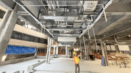
- The LIDAR scanner will only capture whatever is in the line of sight, which means that large elements like ducts or structural beams can obscure elements. The technician should take as many shots as necessary to ensure good coverage.
- 360° pictures are useful not only for modeling, but also for identifying existing pipe systems and types. They can be in color or in greyscale, depending on what they will be used for. It is important to mention that color capture can only be completed in areas that have adequate lighting so this can be challenging to achieve in above-ceiling spaces.
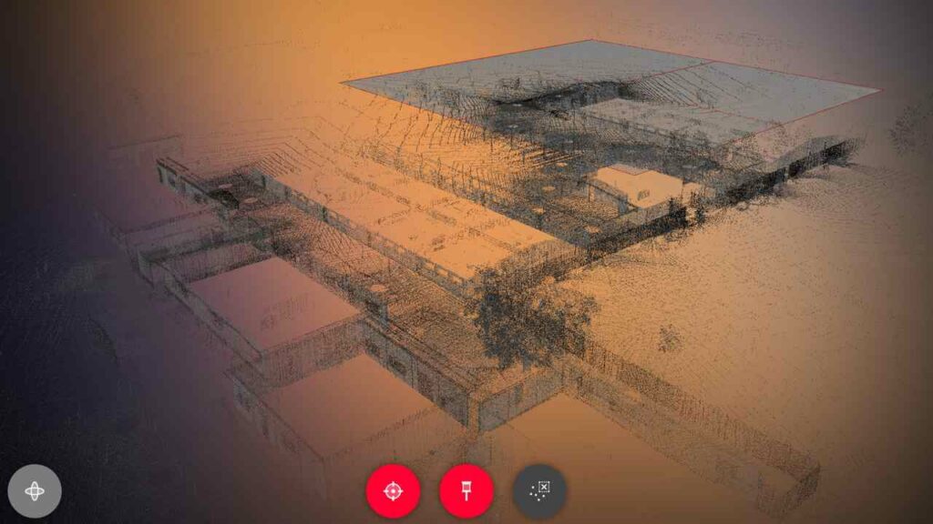
- Depending on the extension of the project, survey control might be needed to increase accuracy as well as to properly align the point cloud and determine a shared coordinate system. Involve BIM Managers and coordinators early in this process. Project standards should be documented in the project BEP (BIM execution plan) and applied by all stakeholders downstream.
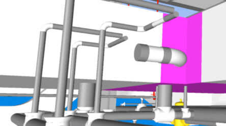
- Navisworks will not enable clash detection against the point cloud data, so it’s preferable to have at least the main existing structural components and system available in the coordination model. Investing in proper as-built models can dramatically reduce the number of RFIs down the road in the coordination process.

The above items are just general considerations to take into account when planning to include laser scanning technology in your projects, however and as mentioned above, each project has its own particularities and poses unique challenges. Planning is a key part of the laser scanning process, and we spare no effort in providing our technicians with everything they need to perform the survey.